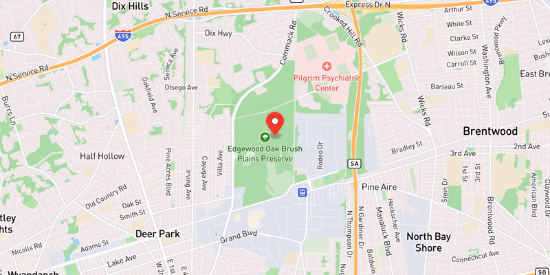
 Incident location, Long Island
What Happened
A traffic accident drawing a mutual-aid response from at least two law enforcement agencies was reported on Long Island on Saturday, June 20, 2026, according to an official incident record. The event was classified as moderate severity, indicating injuries occurred, though the full scope of the crash remains unclear at this time.
Details remain limited. The incident was logged under the designation “Aid - Assist PD-accident,” which indicates that one police department requested support from a neighboring or overlapping agency at the crash scene — a common protocol when additional resources, traffic control, or investigative support are needed. Police have not yet publicly confirmed the number of vehicles involved, the collision type, or the mechanism of the crash.
The specific road, direction of travel, town, and cross-street have not yet been released by the responding agencies. It is not known at this time whether the crash involved passenger vehicles, commercial trucks, motorcycles, bicycles, or pedestrians. The time of the collision within the Saturday, June 20 timeframe has also not been confirmed in available records.
Regarding casualties, the moderate-severity classification strongly suggests at least one person was injured and transported for medical treatment, but the number of victims, the nature of their injuries, and the hospitals involved have not been publicly disclosed. Police have not yet confirmed whether any fatalities occurred. Names and ages of those involved have not been released.
No official quotes from responding officers, witnesses, or agency spokespeople are available at this stage of reporting. This article will be updated as the responsible agency — which may be a Nassau County, Suffolk County, or New York State Police unit, details remain limited — issues a formal press release or incident summary.
Location & Road Context
Because the specific road and town have not been confirmed, detailed road statistics cannot be provided at this time. Long Island’s roadway network spans Nassau and Suffolk counties, covering arterial state routes, parkways, and local roads that collectively see tens of thousands of daily vehicle trips. Moderate-injury crashes occur across the full range of road classes on the island, from high-speed limited-access highways like the Long Island Expressway to lower-speed county roads in residential communities.
Once the location is confirmed, Long Island Traffic will update this section with full road context, including the specific corridor’s crash history, speed limits, and any relevant construction or lane-closure activity in the area. For live traffic conditions across the island, the 511NY system provides real-time incident data.
Broader Impact
The mutual-aid designation suggests the incident required more on-scene resources than a routine fender-bender would demand, which may point to a multi-vehicle crash, a blocked roadway, or a situation requiring extended traffic management — though police have not yet confirmed any of those specifics. Drivers in the area on Saturday, June 20 may have encountered temporary delays or lane restrictions near the scene.