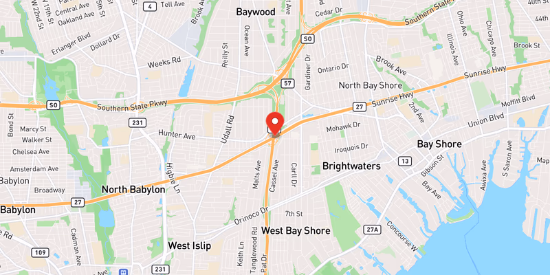
 Location: NY 27, Long Island
What Happened
A disabled vehicle is blocking the left lane of eastbound NY 27 in Suffolk County on Monday, June 15, 2026, according to incident data logged in the Long Island Traffic database. The incident is classified as moderate in severity, reflecting the lane closure’s meaningful impact on traffic flow along one of Long Island’s most heavily traveled east-west routes.
The vehicle came to a stop in the left travel lane of the eastbound side of NY 27, triggering a lane closure that is funneling traffic into the remaining open lane or lanes to the right. Details on the precise location — including the nearest cross-street, exit ramp, or mile marker — remain limited based on currently available official data. The exact time the vehicle became disabled has not yet been confirmed by authorities, nor has the make, model, or year of the vehicle involved.
Information on the driver or any occupants of the disabled vehicle has not been released. It is not yet known whether the vehicle broke down due to a mechanical failure, ran out of fuel, or was involved in a prior collision that rendered it immobile. Police have not yet confirmed whether emergency or roadside assistance units have responded to the scene, or whether a tow truck has been requested to clear the vehicle from the travel lane.
The lane restriction is creating a moderate bottleneck for drivers heading eastbound, particularly given the volume of concurrent activity on NY 27 on this date. As of the time of this report, the left lane closure remains in effect, and eastbound travelers are advised to use caution, reduce speed when approaching the scene, and be alert for stopped or merging vehicles.
Location & Road Context
NY 27 — also known as Sunrise Highway through much of its length and Montauk Highway in its eastern sections — is one of the primary east-west arteries serving Long Island’s South Shore communities from Queens through the eastern tip of Suffolk County. The road carries heavy commuter and commercial traffic daily, and during summer months, leisure and beach traffic significantly increases volumes, particularly in the eastbound direction toward the Hamptons and Montauk.
According to the Long Island Traffic database, NY 27 in Suffolk County has accumulated 648 recorded incidents, making it one of the most consistently active corridors in our tracking system. Suffolk County as a whole accounts for 432 recorded accidents in our local database. The combination of high traffic volume, frequent lane changes, and the mix of local and through traffic on NY 27 makes disabled vehicles particularly hazardous — stopped cars in travel lanes can trigger rear-end collisions, especially when drivers are not expecting a sudden slowdown.
Broader Impact
Monday, June 15, 2026, has proven to be a notably busy day for NY 27 in Suffolk County. Beyond this disabled vehicle, the Long Island Traffic incident log shows a concurrent crash on NY 27 rated minor, a separate disabled vehicle on NY 27 also rated moderate, and active road rehabilitation and utility work along the same corridor — all occurring on the same date. Taken together, these overlapping incidents are compressing the usable road capacity on one of Long Island’s most critical summer travel routes. Drivers are strongly encouraged to check real-time conditions before heading out, allow extra travel time, and consider parallel routes such as Southern State Parkway, which itself saw minor crashes on June 14 and June 13 — though conditions there should also be verified before use as an alternate.
This is a developing story. Long Island Traffic will update this report as additional details are confirmed by official sources. No names, charges, or cause of breakdown have been released at this time; all such details remain pending official confirmation.