What Happened
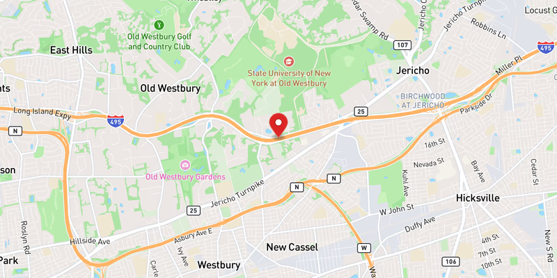
Flooding on westbound I-495 forced the closure of the right lane in Nassau County on Monday, July 27, 2026. The incident was classified as minor in severity, with the impact limited to a single lane. No injuries were reported in connection with the flooding event.
The precise location within Nassau County was not specified in the initial report. No time of onset was included in the available incident record, and police have not yet confirmed the specific milepost or exit where the standing water accumulated.
Location & Road Context
I-495 — the Long Island Expressway — is the primary east-west arterial through Nassau and Suffolk counties and one of the most heavily traveled highways in New York State. The Long Island Traffic database lists 1,924 recorded incidents on I-495, reflecting the road’s constant exposure to traffic disruptions ranging from crashes to weather events. Nassau County alone carries 930 accidents in the same incident database.
Monday’s flooding was not an isolated disruption on the corridor. The same day saw two separate disabled vehicle reports on I-495, two active construction zones, and at least two other crashes — including a minor crash on I-495 and a separate I-495 crash — compounding delays for westbound commuters. A major crash on the Southern State Parkway and a minor crash on NY 135 added to the regional picture of a difficult travel day across Nassau County.
Broader Impact
Standing water on highway travel lanes is a known hydroplaning risk, particularly in the right lane where drainage runoff concentrates. Motorists are advised to reduce speed and increase following distance when passing through flood-affected zones, even after a lane reopens, as residual moisture can persist on the road surface. Drivers on I-495 experiencing related delays can monitor conditions through the Long Island Traffic accidents page.