What Happened
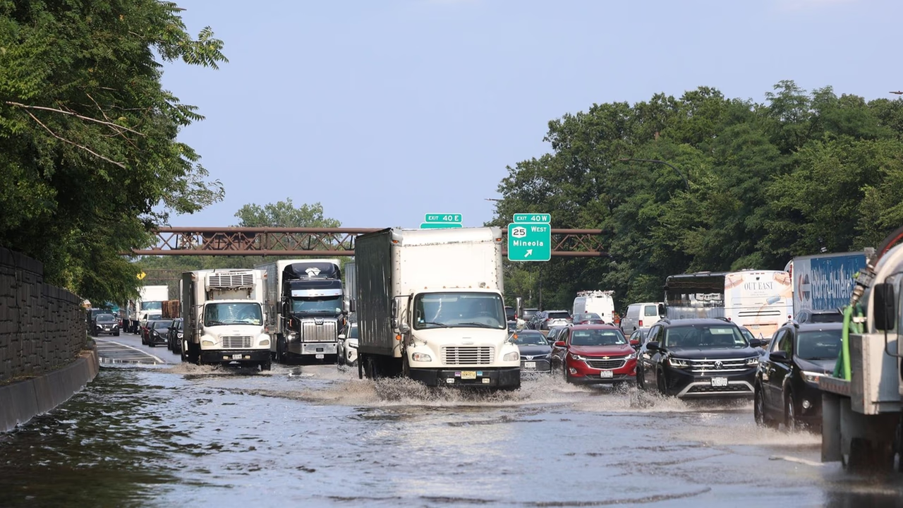
One right lane of the westbound Long Island Expressway closed around 3:45 p.m. on Monday, July 27, 2026, due to flooding near Exit 40W in Jericho, according to Newsday. The closure occurred ahead of the Monday evening rush hour, compounding what would already be a congested period on one of Long Island’s most heavily traveled corridors.
The flooding was located near Exit 40W, the interchange connecting the westbound LIE to Jericho Turnpike in Jericho, and extended into the stretch between Exits 40 and 39, as Newsday reported. The New York State Department of Transportation confirmed the closure through its 511NY traffic information website.
As of the late afternoon, westbound traffic had backed up significantly — reaching all the way to South Oyster Bay Road in Syosset, according to state Department of Transportation real-time data published on 511NY.org. That represents several miles of congestion stretching east from the closure point.
What caused the flooding was not immediately known. The New York State Department of Transportation had not released additional information about the source or extent of the water on the roadway as of Monday afternoon, Newsday noted.
Location & Road Context
The closure occurred on the Long Island Expressway (I-495), one of the most heavily used highways on Long Island and a corridor with 1,926 recorded incidents in our database. The westbound lanes in Jericho and Syosset carry substantial commuter volume during afternoon rush hour, making a right-lane closure near Exit 40W — a major interchange with Jericho Turnpike — particularly disruptive in the 3:45–6:00 p.m. window. Monday’s flooding event was one of several incidents recorded on I-495 that same afternoon, including additional flooding on the expressway and multiple crashes reported elsewhere along the route.
Broader Impact
Monday’s flooding on the LIE arrived just before peak rush hour, timing that amplified its impact on the westbound commute. Flooding-related lane closures on the LIE in Nassau County have historically produced outsized backups because the highway has limited alternative parallel routes at that point; the congestion extending to South Oyster Bay Road in Syosset reflects how quickly a single-lane closure can cascade when volume is high. Drivers heading westbound from the mid-Island area during the afternoon may want to monitor 511NY.org for real-time updates and consider Northern State Parkway as an alternative route when conditions warrant.