What Happened
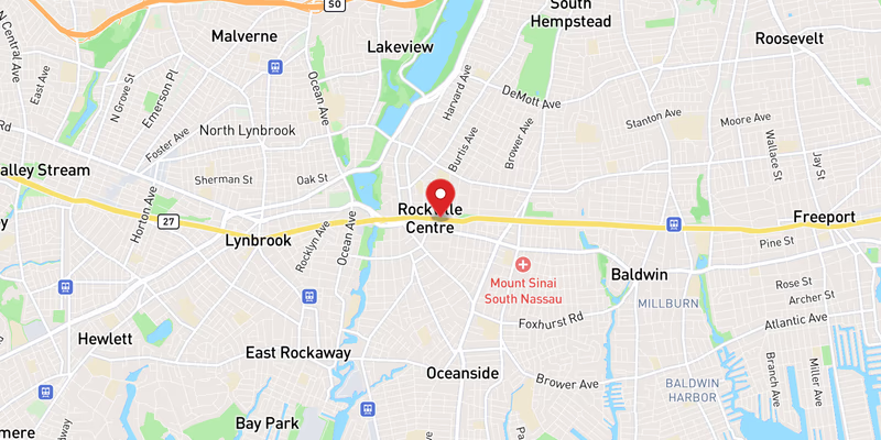
Flooding on NY 27 eastbound in Nassau County prompted a left-lane closure on Monday, August 3, 2026, according to incident records. The closure is rated moderate in severity, with one lane of eastbound travel affected. No injuries or vehicle collisions have been reported in connection with the flooding at this time.
The lane restriction is limiting capacity on one of Nassau County’s primary east-west routes during what is already a congestion-prone corridor. Drivers traveling eastbound should anticipate slowed traffic through the affected area and allow extra travel time.
August 3 proved to be a particularly active day for NY 27 overall. In addition to the flooding, Long Island Traffic’s incident database recorded simultaneous roadwork, overnight roadwork, and a separate multi-component construction project on NY 27 involving drainage improvements, milling, traffic signal repairs, and utility work. The convergence of a weather-related closure and multiple active work zones on the same road on the same day compounds delay potential for eastbound commuters and travelers.
Location & Road Context
NY 27 — also known as Sunrise Highway through much of its length — is one of Long Island’s most heavily traveled east-west arterials, stretching from Queens through Nassau and Suffolk counties toward the East End. In Nassau County, the roadway serves a dense mix of residential communities, commercial corridors, and connections to major interchanges.
Long Island Traffic’s database shows NY 27 has accumulated 1,245 recorded incidents, underscoring the frequency of disruptions along this route. Nassau County as a whole accounts for 976 recorded accidents in the same database. Flooding events on low-lying sections of NY 27 are not uncommon during summer storm activity, and the addition of active construction work in the same corridor on August 3 means drivers should treat the entire stretch with heightened caution.