About Route 25A
Route 25A — officially the North Shore Road and signed as NY 25A — is Long Island’s scenic, historic counterpart to the high-speed expressways and parkways that carry the bulk of the island’s traffic. Running roughly 72 miles from the Queens / Nassau border at Great Neck east to NY 25 (Main Road) in Calverton, Route 25A is predominantly a two-lane, undivided arterial that threads directly through historic village centers, past harbors and estuaries, and across the rolling Gold Coast terrain that has drawn wealthy estate-builders to the North Shore since the Gilded Age. It carries on the order of 25,000 vehicles per day on its busier village segments — a fraction of the LIE’s volume, but on a road geometry never designed for modern speeds or turning conflicts.
A colonial road, modernized
Route 25A is one of the oldest continuously traveled corridors on Long Island. It traces long portions of the colonial-era North Country Road — part of the old King’s Highway post-road network laid out in the late 1600s to connect the North Shore’s earliest European settlements. As New York standardized its touring-route numbers in the 1920s and 1930s, the North Shore alignment was bundled together and signed as NY 25A, a companion to NY 25 (Jericho Turnpike / Middle Country Road) running parallel to the south. The colonial bones still show: the road bends to follow harbor edges and old village greens rather than the straight, graded geometry of a purpose-built highway.
Route geometry, west to east
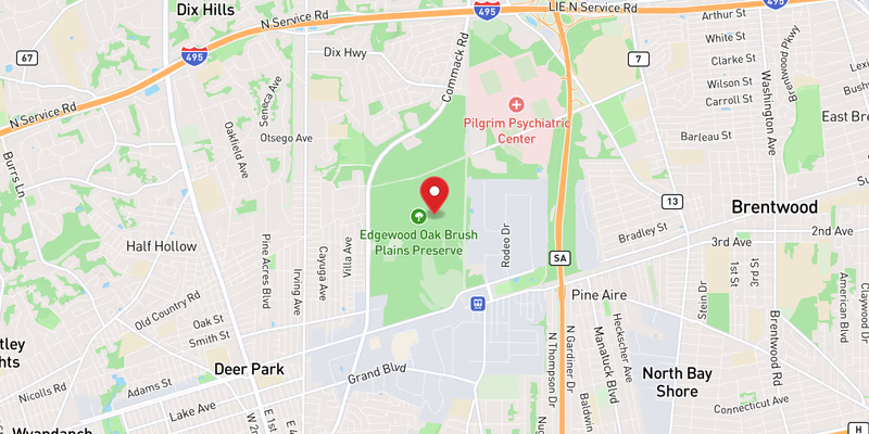
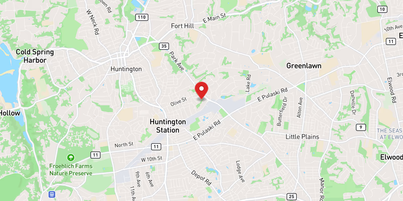
From its western end at the Queens / Nassau border near Great Neck, Route 25A runs east through Port Washington, Roslyn (with its landmark clock tower and historic district), and the Glen Cove / Greenvale area before reaching Oyster Bay, home to Theodore Roosevelt’s Sagamore Hill. Crossing into Suffolk County, the road passes the Cold Spring Harbor narrows — the shoulder-less stretch carved into the hillside above the harbor, directly past Cold Spring Harbor Laboratory — and continues through Huntington village, where it briefly overlaps Route 110. East of Huntington it runs through Centerport, Northport, and Fort Salonga (where it is locally known as Fort Salonga Road), then through Smithtown and St. James into Stony Brook village near the SUNY flagship campus and the Nicolls Road corridor. From there it climbs through Setauket, descends into Port Jefferson village (and its Bridgeport ferry terminal), and finishes its run east through Mount Sinai, Miller Place, Shoreham, and Wading River to its terminus at NY 25 in Calverton.
Jurisdiction and patrol
Route 25A is a NYSDOT-maintained state route, but unlike the LIE, no single agency owns its patrol. In Nassau County, the Nassau County Police Department covers the corridor. In Suffolk County, the Suffolk County Police Department patrols through its 2nd, 4th, and 6th Precincts, covering the towns of Huntington, Smithtown, and Brookhaven. Incorporated villages along the route — most notably Northport Village — operate their own police forces with primary jurisdiction inside village limits. NYS Police Troop L assists on unincorporated state-route segments and frequently takes the lead at serious crashes. This patchwork means crash reporting on Route 25A is spread across more agencies than on a limited-access highway.
Speed limits and character
Posted speed limits on Route 25A swing widely. Through the village centers of Huntington, Northport, Stony Brook, and Port Jefferson the limit is typically 30–40 mph, dropping into walkable, shop-lined main streets with crosswalks, on-street parking, and constant turning movements. On the more open or divided stretches between villages the limit rises to 45–55 mph. The corridor’s defining safety problem is this constant transition: drivers move from a fast open segment into a 30 mph village core with little warning, while local traffic turns across the through lanes at unsignalized cross streets. The scenic appeal that makes Route 25A beloved — harbor views, tree canopy, historic streetscapes — is the same geometry that leaves no margin for error.
Recent Editorial Coverage
Recent Route 25A reporting from the Long Island Traffic data desk:
- Three-Vehicle Crash on Route 25A in Shoreham Leaves One Airlifted — a violent multi-vehicle collision on the eastern two-lane stretch
- Miller Place Boy, 14, Dies Weeks After Route 25A Bicycle Crash — the death that put the corridor’s pedestrian and cyclist risk in the spotlight
- Community Rallies Behind Miller Place Teen Critically Injured in Route 25A Crash — the initial report on the Miller Place crash
- Pizza Event Raises $6,500 for Miller Place Teen Hurt in Route 25A Accident — the community fundraiser that followed
For the complete Route 25A accident archive, see /accidents/ and filter by road.